The Cherohala Skyway: A picturesque ride through the Appalachian Mountains


0 min. read
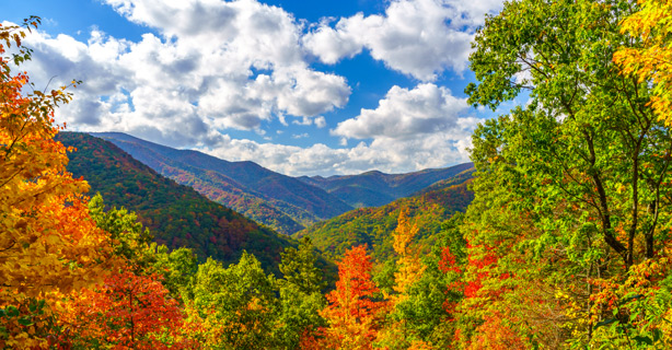
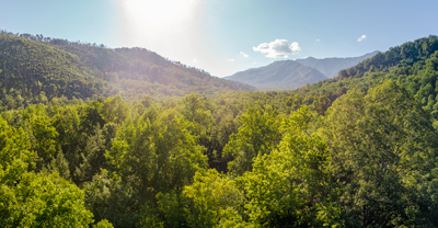
Hit the open road on the Cherohala Skyway, a 43-mile stretch of scenic highway that weaves through the majestic Appalachian Mountains, seamlessly connecting the Cherokee National Forest in Tennessee with the Nantahala National Forest in North Carolina. The name "Cherohala" is a combination of "Cherokee" and "Nantahala," representing the two national forests it joins.
Cherohala Skyway route map
The Skyway provides access to various outdoor recreational opportunities, including hiking trails, waterfalls, and camping areas. Review the journey in this interactive route map.
Weather along the Cherohala Skyway
Be prepared for unpredictable and rapidly changing weather conditions. Due to its elevation, the Cherohala Skyway experiences cooler temperatures compared to the surrounding lowlands. The breeze is notoriously cool when riding the mountain ridges, so pack the correct cool weather motorcycle gear for this ride.
Make sure to check for road conditions and closures, especially during winter months when some sections may be closed due to snow and ice.
The following climate data for Tellico Plains, TN gives you a general idea of what you can expect.

It’s simple. Request a free motorcycle insurance quote.
Cherohala Skyway safety tips
Riding the Cherohala Skyway can be an exhilarating experience, but safeguarding your ride is paramount. Follow these motorcycle safety tips to help ensure a safe and enjoyable adventure:
Make sure your motorcycle is in optimal condition. Check the tires, brakes, lights, and fluid levels.
If you're not accustomed to high altitudes, be aware of potential symptoms, like dizziness or shortness of breath.
Use caution in foggy, wet, or slippery conditions, and adjust your riding style accordingly.
Tailor your speed to your skill level, particularly if you’re not accustomed to winding roads and mountainous terrain.
Watch for wildlife, as the route passes through natural habitats.
Take breaks to prevent fatigue. Find designated pull-offs to rest and enjoy the scenery.
Also, keep in mind the Skyway doesn't have gas stations, restaurants, or main restrooms along the way. Make sure you're well-prepared for a smooth ride.
Stops to make along the Cherohala Skyway
Without stops, you can complete this route in under two hours. However, there are multiple must-see spots if you aren't in a hurry—all of which highlight the area's natural beauty.
Santeelah Overlook
At 5,400 feet, Santeelah Overlook is the highest point on the Cherohala Skyway. This stop allows riders to enjoy expansive views of the Great Smoky Mountains, the Appalachian Mountains, and surrounding forests—including Slickrock and Snowbird.
Santeelah is just one of 15 overlooks. Several trailheads are also located along this route. If you have the time, snacks and water, and some decent hiking shoes, be sure to explore.
Indian Boundary Lake
For a more leisurely ride, take a slight detour to reach Indian Boundary Lake, located 13 miles from Tellico Plains. This 96-acre body of water has a swim beach and fishing pier if you're looking to catch bass or catfish. There’s also a great picnic area with grills. Plan to stop here if you want to enjoy a lakeside meal or book a campsite for the night.
Joyce Kilmer Memorial Forest
Joyce Kilmer Memorial Forest is famous for its untouched natural beauty. This old-growth forest is home to 400-year-old trees—some of which are over 20 feet wide.
Many plan for a fall trip to enjoy the changing leaves. While fall is the busiest season, the Cherohala is still far less traveled than the nearby Blue Ridge Parkway—known as “America's Favorite Drive.”

It's a breeze. Get your motorcycle insurance quote today.
The general information in this blog is for informational or entertainment purposes only. View our blog disclaimer.
*Data accuracy is subject to this article's publication date.


